Boyd Creek
The south-west of South Island isn't replete with dog-walks, and north of here the Milford Sound is about as dog-unfriendly as you can get. (In fact the whole settlement, when you at last reach it after the drive over the saddle and down the spectacular glacial valley, feels pretty unfriendly to everyone with its demands for payment and its restrictions and CCTV.) So Boyd Creek is a welcome place to walk the dogs and feel free again.
It doesn't announce itself with any confidence: just a sign opposite the entrance, which is through a gate and across a field. But from the small parking area above the river, the track leads enticingly through a small patch of bush, over a small stile, then downwards to a bridge across a small stream. After that you climb again, and begin to have a choice of routes. There's one side-track off to the right, labelled Boyd Creek; another off to the left, sign-posted as the Tops Track which gives you access to the open land on the Cpuntess Range, in Snowdon Park. But continue straight on and you come to a camp and lodge, designed it seems for outward bound training, and from there you cross a grassy area and enter a quiet and beautiful beech forest. The track wanders on, soft and leaf-strewn now, past licheny boulders, between mossy stumps, and bathed in that lovely glittering light which only beech fprests seem to have. Quite where it leads to, I can't say; I've never followed it to its end. But it's a glorious space, so one day I'll do so . . .
It doesn't announce itself with any confidence: just a sign opposite the entrance, which is through a gate and across a field. But from the small parking area above the river, the track leads enticingly through a small patch of bush, over a small stile, then downwards to a bridge across a small stream. After that you climb again, and begin to have a choice of routes. There's one side-track off to the right, labelled Boyd Creek; another off to the left, sign-posted as the Tops Track which gives you access to the open land on the Cpuntess Range, in Snowdon Park. But continue straight on and you come to a camp and lodge, designed it seems for outward bound training, and from there you cross a grassy area and enter a quiet and beautiful beech forest. The track wanders on, soft and leaf-strewn now, past licheny boulders, between mossy stumps, and bathed in that lovely glittering light which only beech fprests seem to have. Quite where it leads to, I can't say; I've never followed it to its end. But it's a glorious space, so one day I'll do so . . .
|
Hover on the map to zoom in
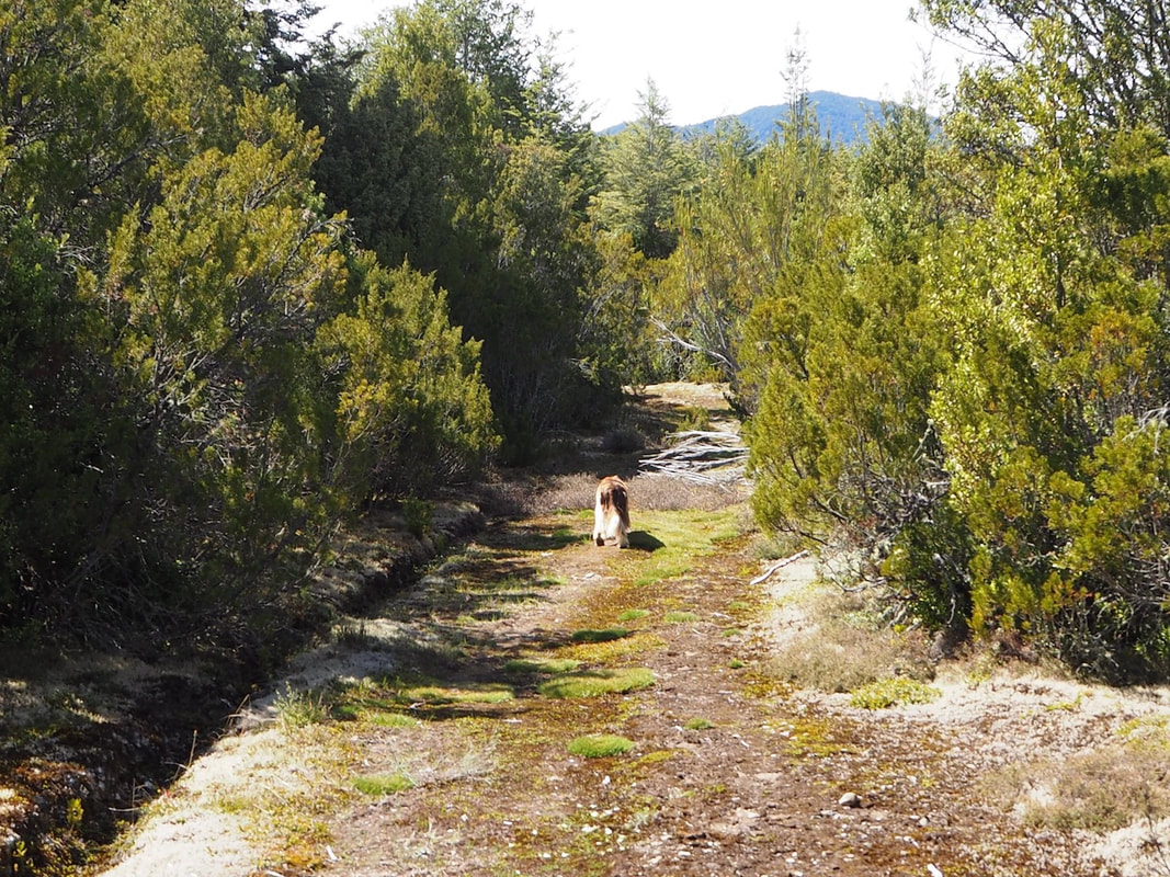
The track to the Tops
|