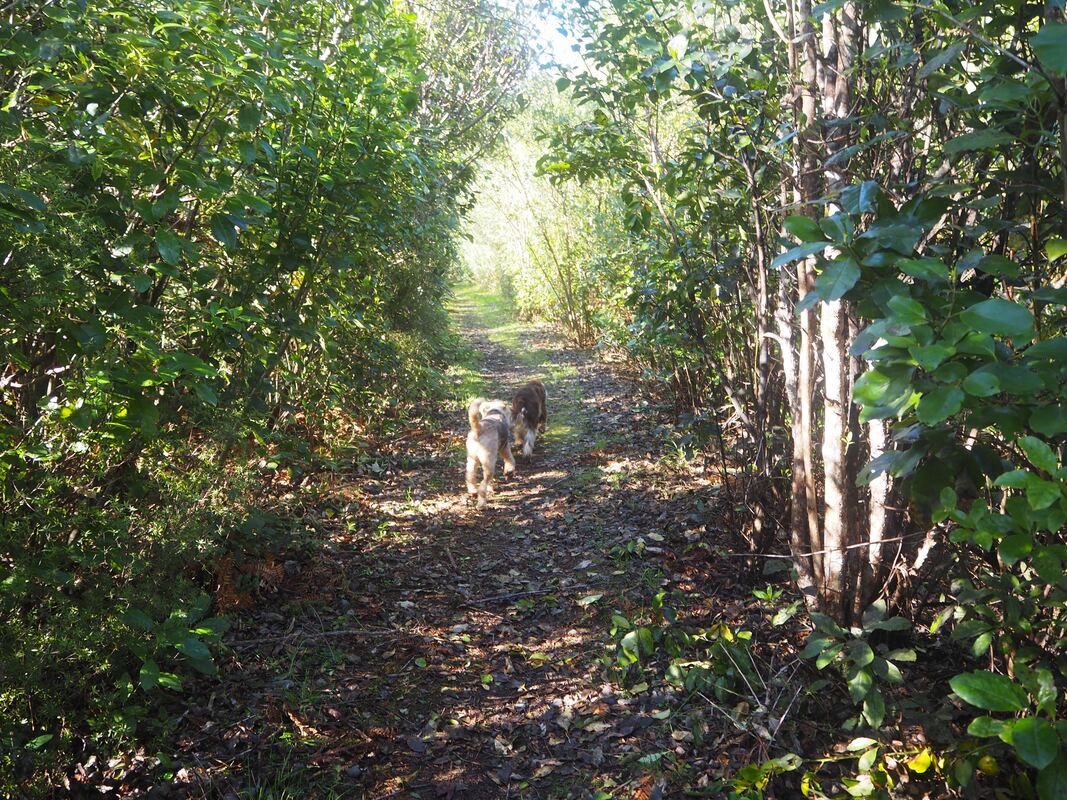
Chasm Creek
Name |
Chasm Creek |
Location |
Seddonville |
Co-ordinates |
1514421 5400687 |
Alternative co-ordinates |
1515044 5400034 |
Configuration |
Linear |
Distance |
0.8 km |
Status |
Off-leash |
Grade |
Easy |
Access |
Take the Seddonville Road off SH 67 just south of the Mokihinui River Bridge. Walk starts at small parking area on left, ca. 1km from junction. |
Description |
Sadly, the bridges on the Chasm Creek Walkway have been closed for safety reasons - and they seem unliekly to be reopened. As a result, only part of this walk is now accessible. Even so, it's an interesting and pleasant stroll along the old railway track that used to serve the logging industry in this area. There are hints of the history on the trackside, and good views of the river, and though the bridges are closed, there's a short tunnel to walk through. To taste another short section of the trail, find it's southern end, on the other side of the bluff just befiore Seddonville village, and walk back as far as you can. |
Connecting tracks |
|
Further information |
Hover on the map to zoom in
