St James Conservation Park
Name |
St James Conservation Park |
Location |
Hanmer Springs |
Co-ordinates |
1583352 5300904 |
Alternative co-ordinates |
1580672 5315374 |
Configuration |
Network |
Distance |
100 km |
Status |
Off-leash |
Grade |
Moderate-Severe |
Access |
For Homestead Run: St James homestead, on Tophouse Road, ca 3 km west of junction with Clarence Valley Road, ca 6km north of Hanmer Springs. For Fowlers Pass Track: Fowlers Hut, on Tophouse Road, ca, 16 km north of Hanmer Springs |
Description |
A wide range of routes through the accessible yet beautiful St James Conservation Park. (Note that dogs are only allowed east of the Waiau River.) |
Connecting tracks |
Includes St James Cyecleway, Fowlers Pass, Maling Pass Track, Stanley River and Homestead Run. |
Further information |
Hover on the map to zoom in
|
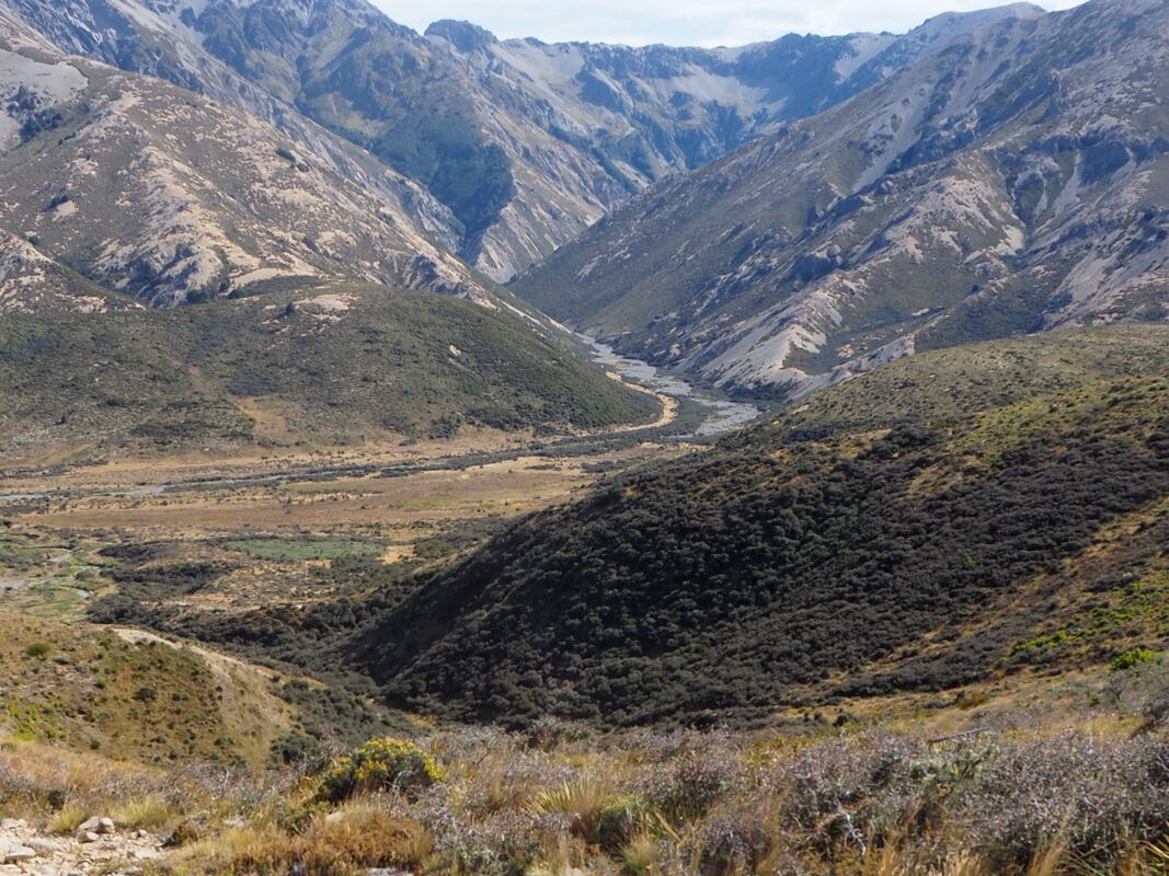
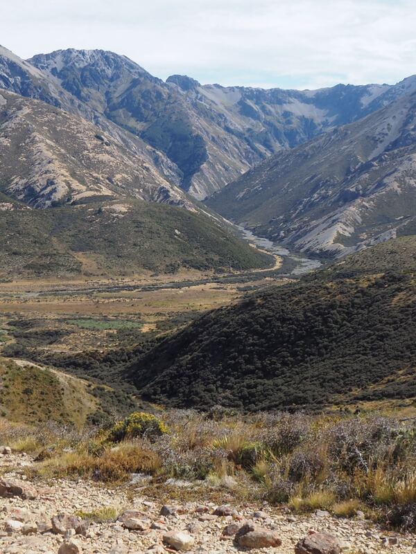
Looking into the Wairau Valley
|
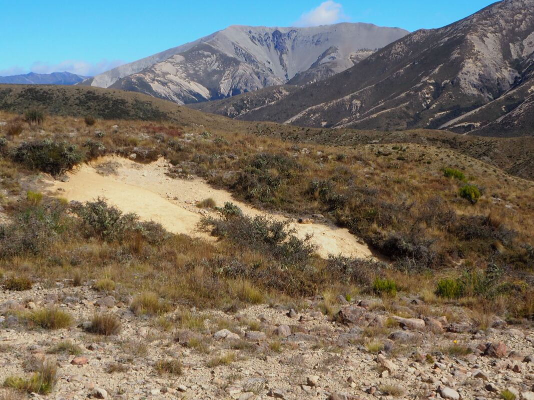
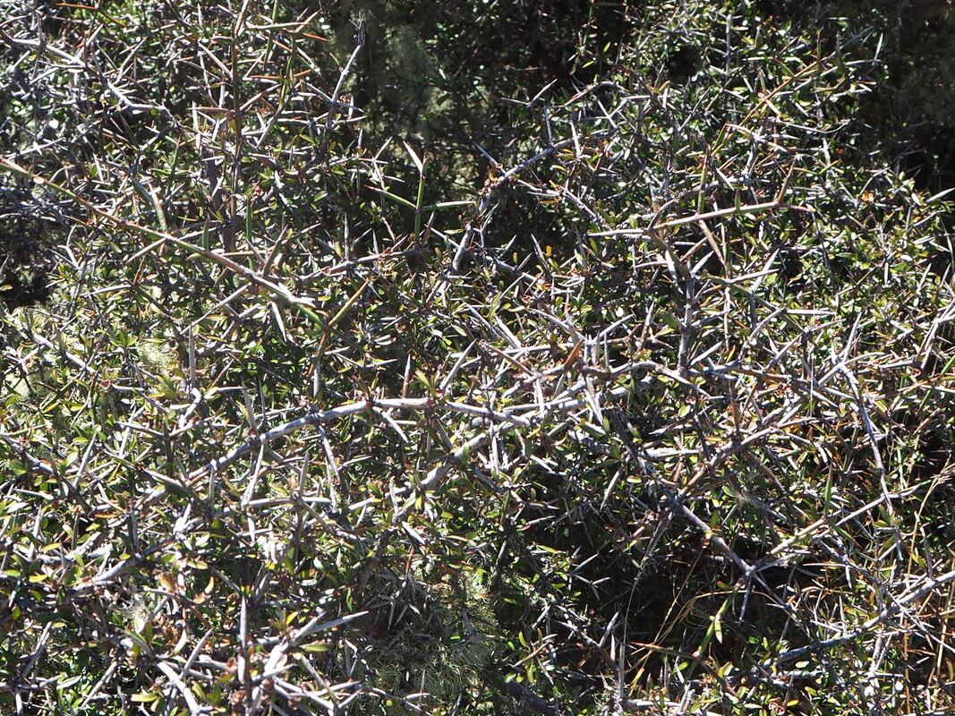
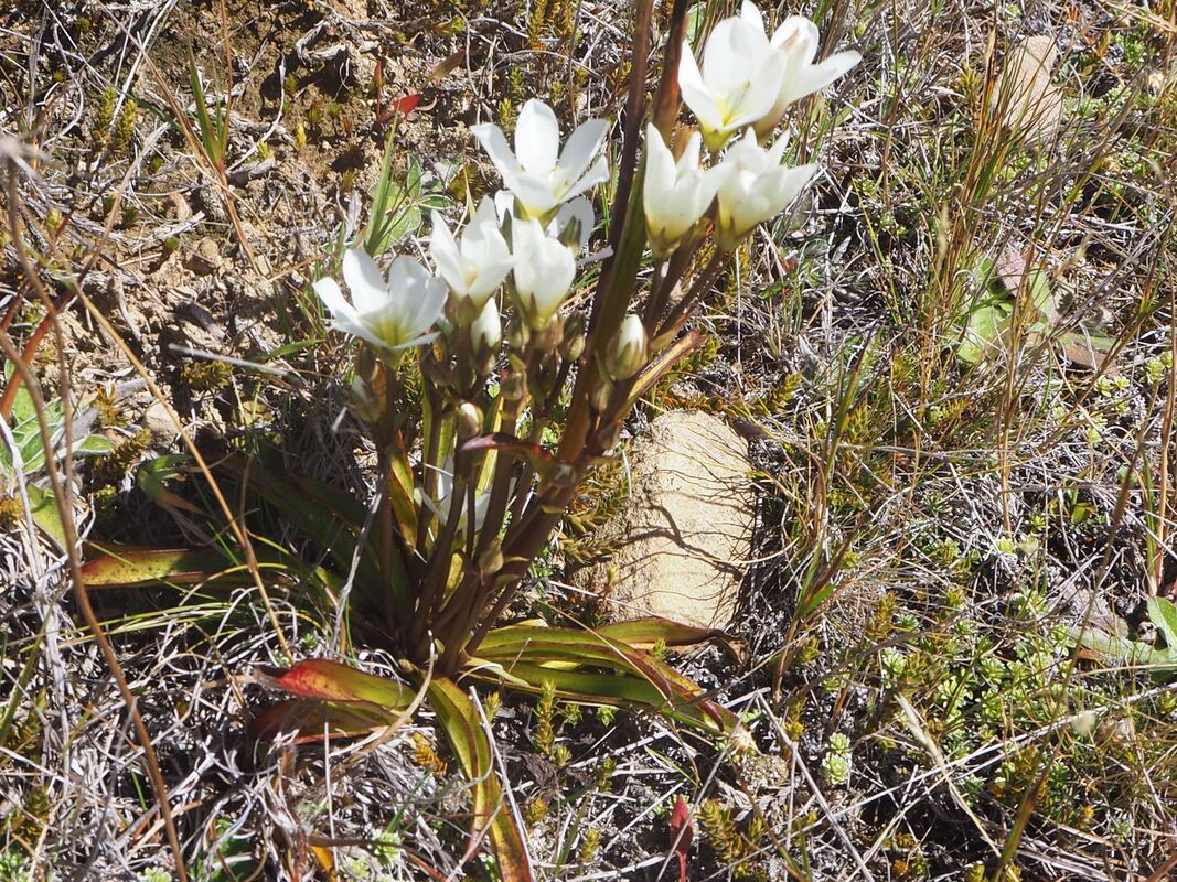
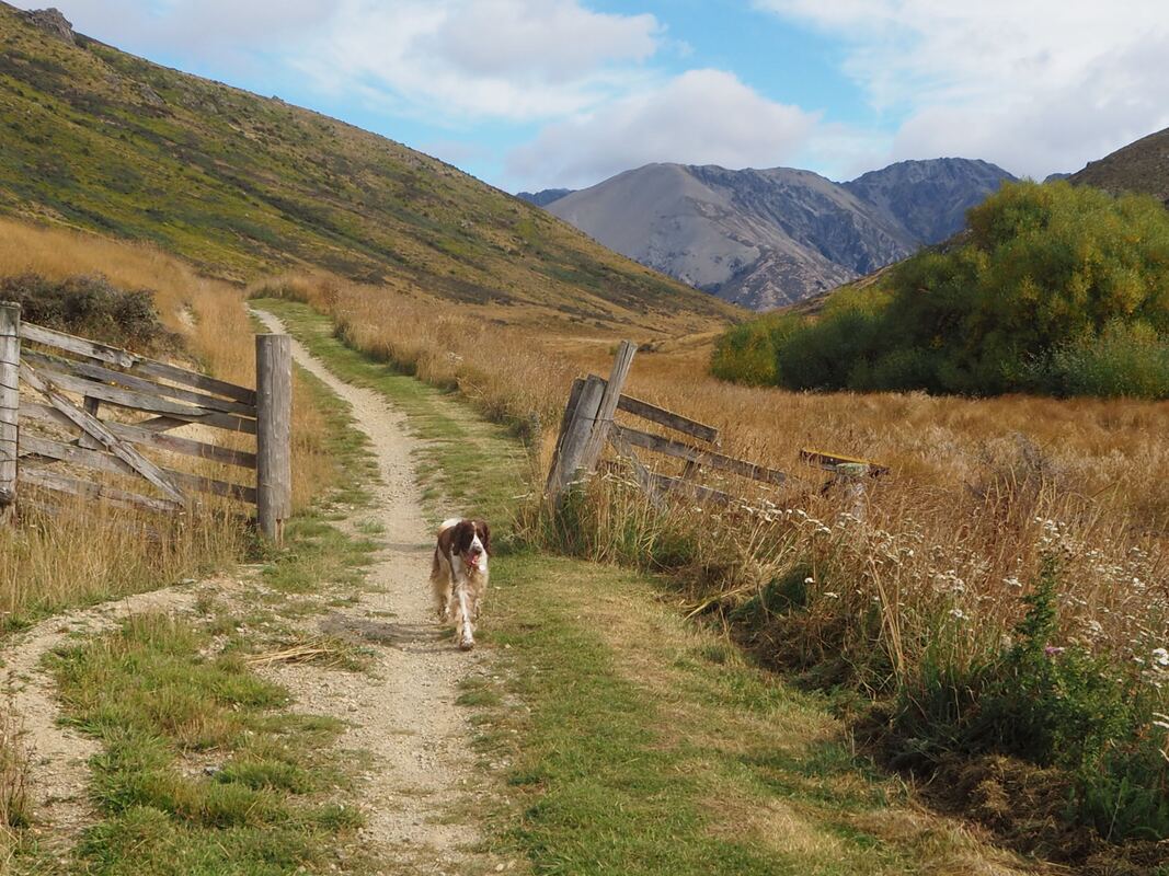
Images from the Homestead Run
|