Kumara Community Walks
Name |
Kumara Community Walks |
Location |
Kumara |
Co-ordinates |
1451637 5278253 |
Alternative co-ordinates |
|
Configuration |
Network |
Distance |
8 km |
Status |
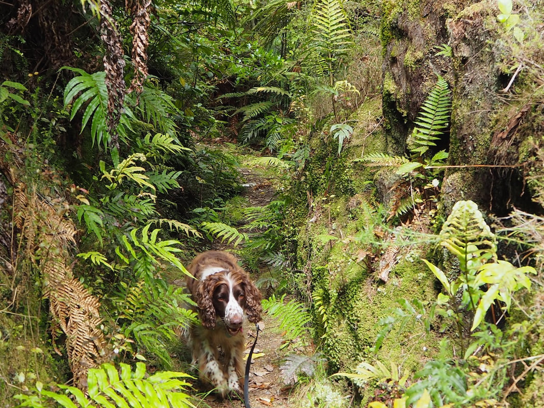
Off-leash |
Grade |
Easy-Moderate |
Access |
Corner of SH73 and Kumara-Inchbonnie Road. |
Description |
A series of loosely linked and varied tracks, generously developed by the community, and giving access to the viewpoints, bush and birdlife of the area. A wonderful effort! |
Connecting tracks |
|
Further information |
|
This network of walks is a great example of a community effort to provide a reason for passers-by to stop and spend a while, rather than just speeding on past to the next metropolis. There might not seem to be much in Kumara when you drive through, but in reality it's worked hard to cling onto its history, and share it with anyone who makes the effort to look. There are old buildings and artefacts, and a dozen or more informative signs telling you of the gold mining as well as a roadside kiosk offering some amazing West Coast food.
The walks now total about 8km in length and seem to be growing all the time. They include a short loop walk on the flanks of Taylors Hill, on the north side of the village, which offers good views of the river and surrounding area, and nearby Payn's Track offers a there-and-back walk on an old tramway. On the south side of the village, Larrikins Track takes you to Londonderry Rock, a 4000 tonne glacial erratic that was dislodged by miners while sluicing for gold.It's said that when it was moved, it caused earthquake-like shudders that stopped the clock in the post office, but maybe there's a bit of exaggeration in that story. The West Coast Wilderness Cycleway also passes through the village, and though, elsewhere, much of this is classified as non-dog (often, for no apparent reason), in this area it's dog-friendly. So, don't just drive through Kumara without a thought; stop and enjoy a stroll! |