Mount Glasgow
Name |
Mount Glasgow |
Location |
Seddonville |
Co-ordinates |
1516404 5396399 |
Alternative co-ordinates |
|
Configuration |
Linear |
Distance |
3 km |
Status |
Off-leash |
Grade |
Easy-Moderate |
Access |
Take Chasm Creek Road from Seddonville for ca 3.5 km. Parking space is available near the side-tracks, about 100 metres back towards Seddonville - but don't block the entrances. |
Description |
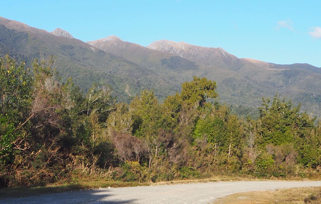
This used to be a really good day hike up onto the summit of Mount Glasgow, but changes to the Kauhurangi National Park boundary have put much of the track out of bounds for dog-walkers. You can still do the first 3 km, however, up to the park boundary. This section follows a rough 4WD track up to a short but rocky river crossing. In most cases, it's probably not worth doing the crossing because it's only a few hundred metres further to where the DoC track starts - and dog access stops. However, the 4WD drive track does continue outside the national park, and other tracks - mainly used by hunters - branch off this so there are options to extend the walk. As this is hunting country, however, you'll need to keep the dog close and it's probably wise to wear bright colours yourself so that you don't get mistaken for tomorrow's dinner, |
Connecting tracks |
|
Further information |
Note: map below will be updated at some point. |
Hover on the map to zoom in