Snout Tracks
Name |
Snout Tracks |
Location |
Picton |
Co-ordinates |
1684291 5428840 |
Alternative co-ordinates |
1685915 5430325 |
Configuration |
Network |
Distance |
15 km |
Status |
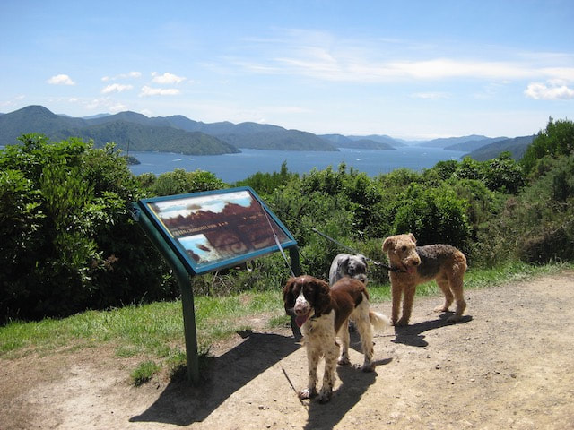
Off-leash |
Grade |
Easy-Moderate |
Access |
Car park at end of Surrey Street (off Waikawa Road). Track entrances on far side of recreation area, or at far end (to right). Alternatively, head north on Waikawa Road, then take Ranui Street, left, and turn onto Rohe Drive (2nd left). Parking area ar end of the street. |
Description |
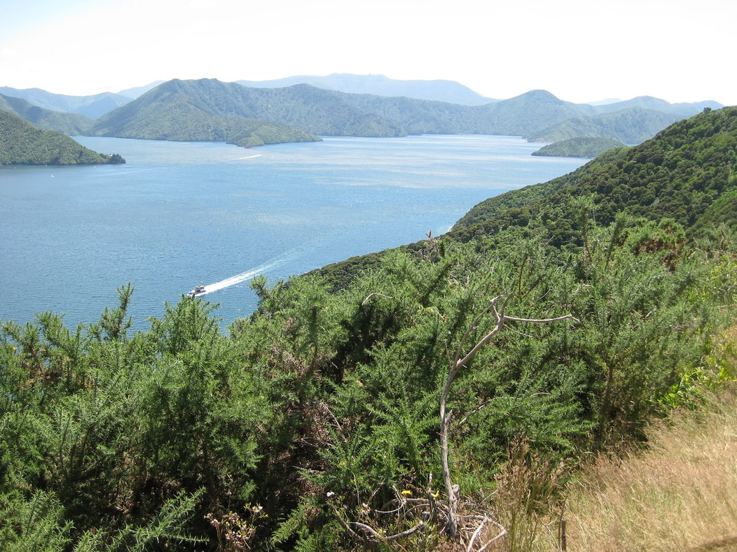
The Snout, which protrudes nortthwards from Picton, may not be beautifully named, but offers some really good walks. For a long walk, taking in most of the best views, climb threough the bush to the ridgeline and follow Snout Track as far as dogs are allowed to go (all but the most precipitous section at the very northern end). But if you want a shorter walk, there are loops aplenty - though note that not all the tracks are open to dogs. |
Connecting tracks |
|
Further information |
|
|