Remutaka Rail Trail
Name |
Description |
Location |
Featherston |
Co-ordinates |
1787652. 5440113 |
Alternative co-ordinates |
1782115. 5449716 |
Configuration |
Linear |
Distance |
18 km |
Status |
Off-leash (on-leash in tunnels |
Grade |
Easy-moderate |
Access |
From the western end of Featherston, head south on Western Lake Road for ca. 10 km. then turn right onto Cross Creek Road (signposted Remutaka Rail Trail); the trail starts at the carpark at the end of the road. Alternatively, to walk from west to east, take Kaitoke Loop Road off SH2 (on right heading north) at Kaitoke and continue to the end of Incline Road. |
Description |
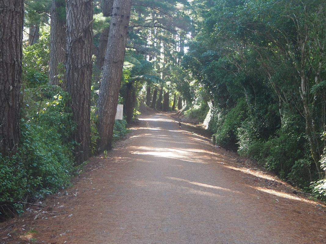
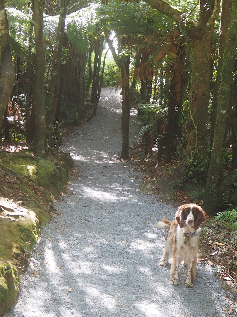
This 18 km trail through the Remutakas is a real gem. Most of it (though not quite all) is easy walking, and as well as some lovely native bush and views of the hills and valleys, there are some long and spooky tunnels on the way - and lots of fascinating history about the railway. The hardest section (which is never more than moderate) is the uphill section to the summit on the eastern side - known as Fell Incline.Starting in the west and walking east turns this into a downhill section, but you might still prefer starting in the east to give you the long and gentle homeward run. Either way, this is a walk that is never very demanding, so a reasonably fit walker (and dog!) should be able to complete the whole trail in 5 about hours. |
Connecting tracks |
Pakuratahi Forest |
Further information |

