Otaki Forks
Name |
Otaki Forks |
Location |
Otaki |
Co-ordinates |
1787831 5472958 |
Alternative co-ordinates |
1778697 5468453 |
Configuration |
Network |
Distance |
90 km+ |
Status |
Off-leash |
Grade |
Easy-Difficult |
Access |
To access the shorter walks from Otaki take Otaki Gorge Roadd off SH1 just asouth of Otaki and continue to the end. To access the more southerly, longer tracks, take Reikorangi Road from Waikanae, and in Reikorangi continue onto Ngatiawa Road and follow this to the end. Another possible access point is at the end of Mangaone Road, which can be reached from Te Oro. |
Description |
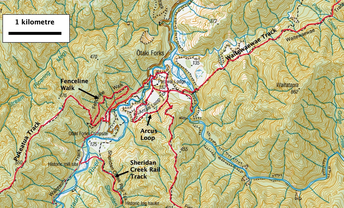
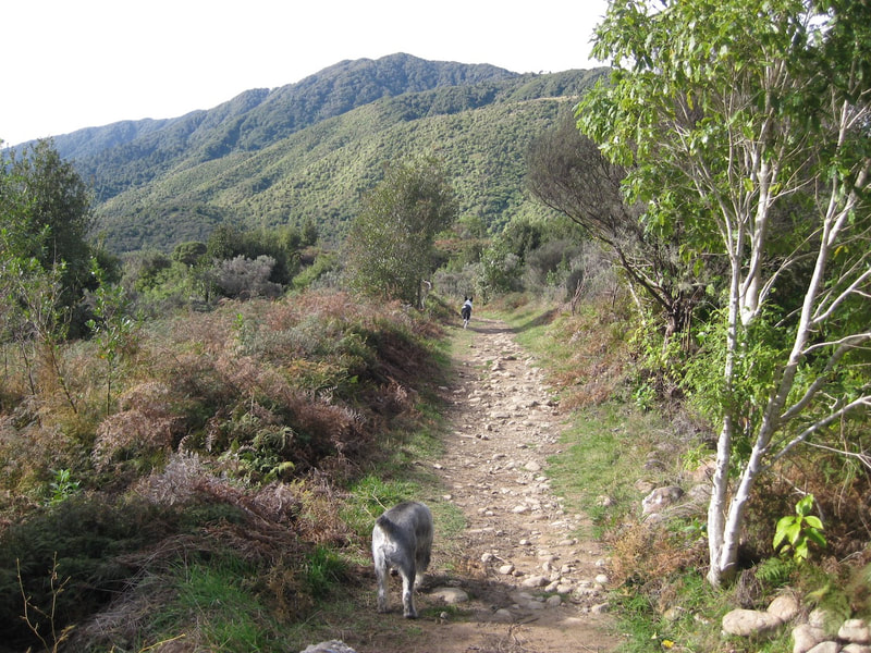
The Tararuas offer some 200 km or more of dog-friendly tracks amid some wonderful woodland, exposed ridges and challenging country. It provides some of the best walking in the country. A key access point to these walks is Otaki Falls. From there, tracks fan out, northwards to Mount Crawford and the Dundas Ridge, east to Mount Crawford, Mount Holdworth and the Waiohine River, and south to Mount Hector and the Dress circle.WEith these routes, there are few places in the Tararuas that can't be reached from here, at least indirectly. But it needs to be remembered that many of the higher and more remote routes are inherently dangerous and should only be tackled by fit and experienced walkers - and everyone walking them should leave an itinerary with someone they trust. For the less ambitious, however, Otaki Falls also offers some interesting and very worthwhile shorter dog-friendly walks. The Arcus Loop, for example, is an easy 3.5 km walk, yielding good views of the surrounding area; the Fenceline Track gives a,longer loop through regenerating forest, again with good views. The Waiotauru Track is a short linear walk to an old mill, and the Sheridan Creek Rail Track is a more challenging climb up to an historic logging site. Perhaps one of the best walks, though, is along Field Track. This climbs from the campsite at Otaki Forks up through beech forest to Field Hut at 900 metres. From there, it's a relatively short walk to the bushline, where trees give way to leatherwood shrubland and then to the tussocklands on Table Top (1047 m). Leading you further, a boardwalk and gravel track take you through subalpine bog, from where you get good views of the enclosing arc of the Main Range and of the gorges of the Otaki River. The return trip can easily be completed in a day. Starting from Ngatiwa Stream, there is also a very worthwhile loop up onto Kapakapanui. The climb is steep and often rugged, but the open top of this isolated hill provides one of the best viewpoints in the whole of the Taranuas - and that's saying something! |
Connecting tracks |
|
Further information |
Tracks accesible from Otaki Forks


