Pakuratahi Forest
Name |
Pakuratahi Forest |
Location |
Te Marua, Upper Hutt |
Co-ordinates |
1780886 5447485 |
Alternative co-ordinates |
1781502 5449346 |
Configuration |
Network |
Distance |
20 km |
Status |
Variable - generally on-leash |
Grade |
|
Access |
Several access points. For Tanes Track and Mount Climie, take Plateau Road off SH2 at Te Marau and continue to the end. Carparks are available at two levels; proceed to the top level for direct access, or the lower level to extend the walks by 500 metres. For Station Drive and Goats Hill Road, take Loop Road off SH2 in Kaitoke and park at the start of Station Drive. For Te Ara Tirohanga start at the summit carpark on SH2. |
Description |
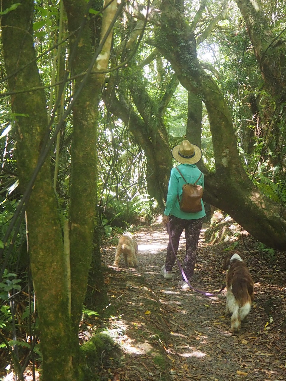
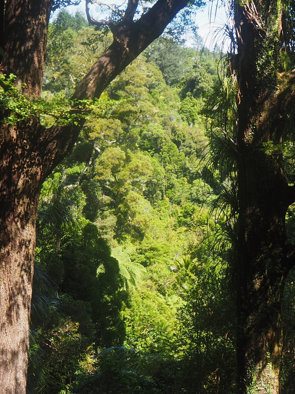
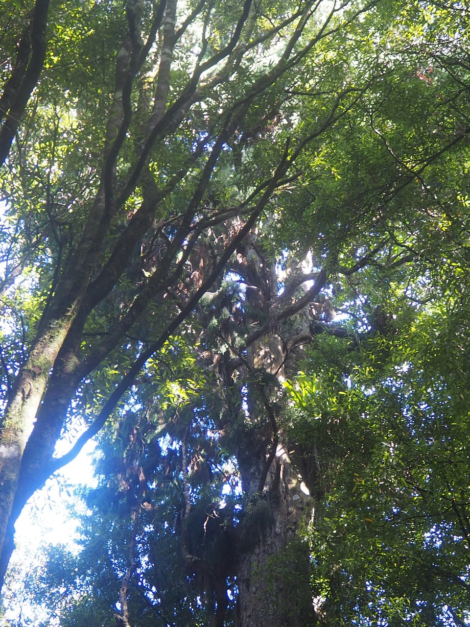
For a really delightful short loop walk take Tane'sTrack from one of the carparks on Plateau Road. This leads you on a 3 km loop through some beautiful but enigmatic native bush: most of the trees are young and lish, but scattered amongst them are the worn and often dead shapes of much older trees speaking of a time before. For a longer loop, take Station Drive, then fork onto Goats Hill Road; this will you through a mix of planted forest, grassland and bush onto the lower end of the Remutaka Rail Trai, from where you can loop back to the start via Incline Road and Loop Road (a total distance of about 6 km. Te Ara Tirohanga offers a short climb up onto the Remutaka summit, and gives fantastic views. For a longer, but still relatively easy, tramp, take the Mount Climie Track - a 14 km, 3-5 hour return, giving a good panorama of the Hutt Valley and Wairarapa. |
Connecting tracks |
|
Further information |
|
|
|