Name |
St Bathans, Blue Lake |
Location |
St Bathans |
Co-ordinates |
1347991 5026566 |
Alternative co-ordinates |
|
Configuration |
Loop |
Distance |
3 km |
Status |
Off-leash |
Grade |
Easy-Moderate |
Access |
From SH85, take St Bathan's Loop Road at Becks, and continue until the village. Car park beside the workings. |
Description |
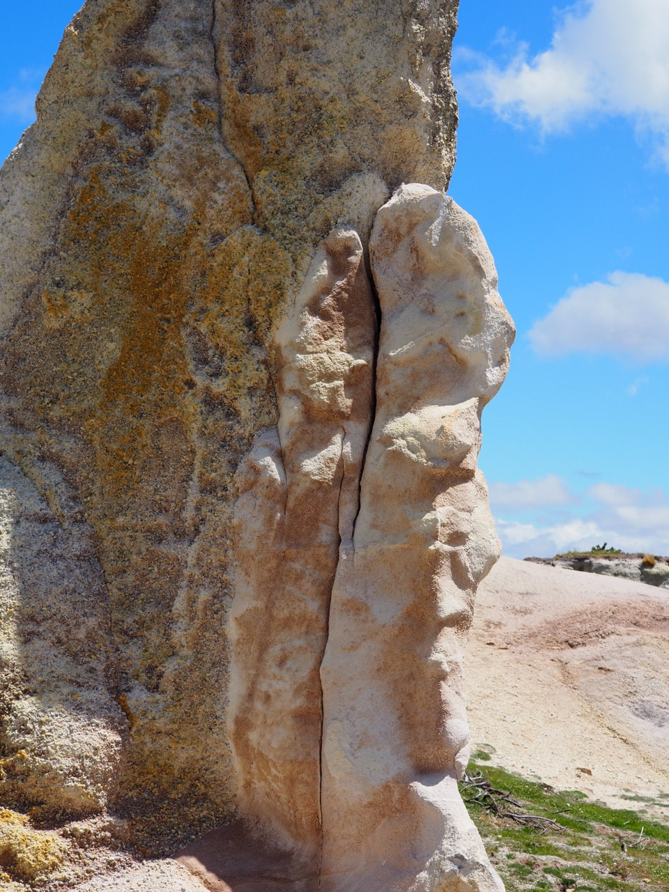
This interesting walk takes you through a bizarre whiter landscape of bare gravel and silt, carved by miners sifting the sediment for gold. As well as remnants from the old alluvial gold workings, there's the strange beauty of the deep blue lake in the bottom of the pit, and the chance of finding fossil plants and animal bones in the sediment.A walk like no other. |
Connecting tracks |
|
Further information |
St Bathans, Blue Lake
|
This is a walk with a difference. It's set amongst old gold workings in the picturesque village of St Bathans, and offers two loops around a lake that has formed in the excavation pits. The outer loop runs along the tops of the low hills that surround the lake and is about 3km long; the lower loop follows a boardwalk and grassy path on the western side.
If you follow the longer route, and stick to the path, then the going is moderate and you should comfortably be able to complete the loop in an hour and a half, even allowing for time exploring. Likewise, if you take the shorter route, along the boardwalk, you should be back where you started in 30-45 minutes. But if, like us, you let the dogs find the way, and end up scrambling along the informal paths around the margin of the lake, then be prepared for a good hour and a half of scrambling and sliding over scree, crawling through thorn scrub, picking your way through marsh, and tip-toeing along the water's edge: great fun, but not exactly what we'd set out to do. Whichever route you choose, take a bit of time to fossick amongst the shales and gravels exposed by the worklngs. Some of the shapes and colours of the sediments are beautiful, and there are geological treasures to find. You'll be very lucky to discover any gold, but there are other interesting minerals to discover, as well as fossils of plant leaves, insects and even Mososaurus bones. |
|
Hover on the map to zoom in