Riversdale
Name |
Riversdale |
Location |
Riversdale |
Co-ordinates |
1857750 5445650 |
Alternative co-ordinates |
1857820 5447100 |
Configuration |
Loop |
Distance |
5 km |
Status |
Off-leash |
Grade |
Easy |
Access |
Small parking area at southern end of Riversdale settlement. Walk starts next to information board. (Note: follow sign to 'recreation walk entrance' to find the walkway). Alternatively start from small park beside coastguard station at northen end of village and follow beach southwards; to join loop walks take one of the three tracks on the south side of village marked with white posts. |
Description |
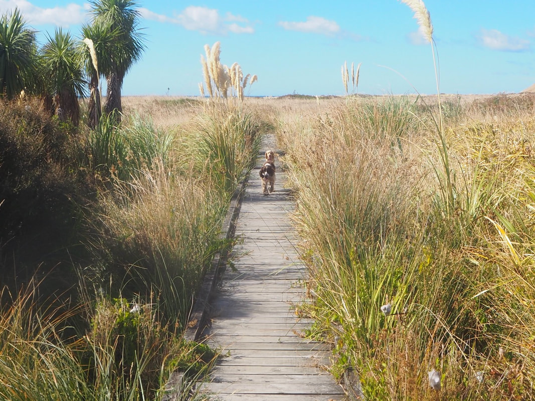
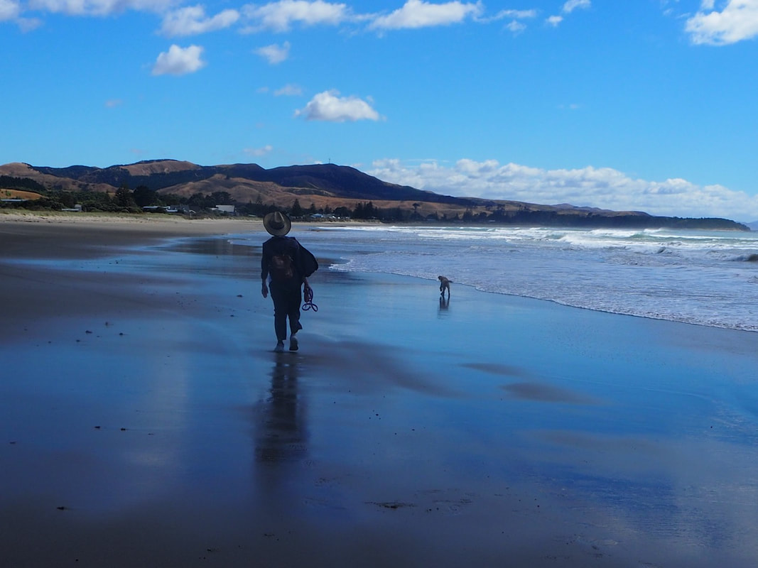
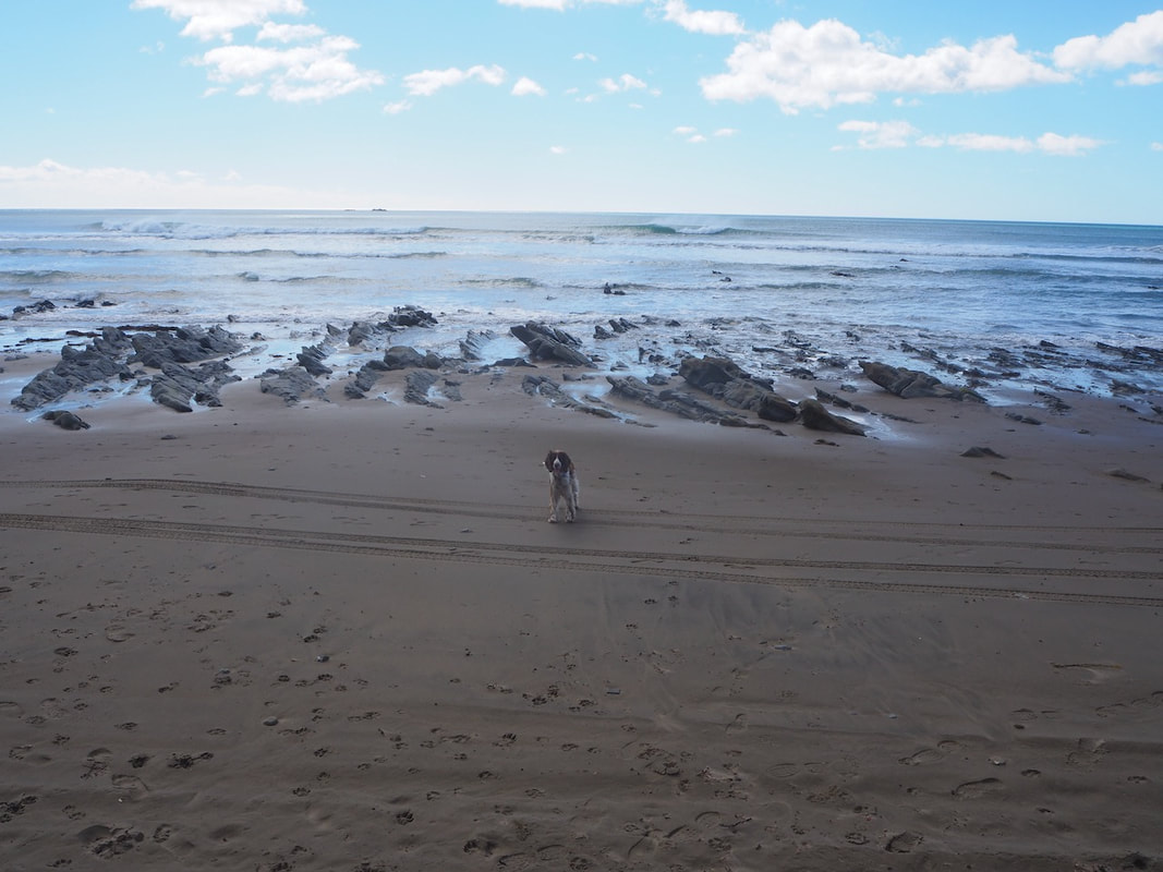
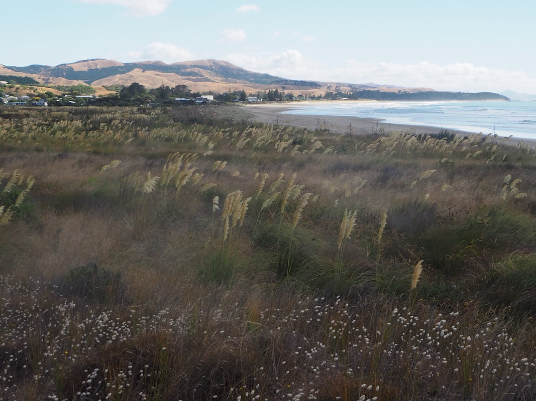
Riversdale is a longish drive along a winding and rather bumpy road from Masterton, but it's well worth the trip. The countryside on the way there is beautiful and bucolic, and the settlement itself has an open and welcoming feel, unlike many other bach-towns. The cafe also serves a very good coffee! But the dogs will love it, too, for there's a long and wide beach to romp on, and at the southern end of the village a generous but easy loop walk has been cut through the meadowy wetlands at the back of the beach. As you wander between the feathery rushes and grasses and the nodding toi-toi, the place feels like a world away from the bustle of life. For those wanting a bit more of a challenge, there's a secondary loop that takes in the high terrace majking the southern edge of the wetland, and to extend the walk further you can exit out onto the beach and follow that north to the Motuwaireka Stream. |
Connecting tracks |
|
Further information |